About Us
Built On Precision. Driven By Purpose.
From ground survey to AI-driven advisory, we're the connected geospatial partner behind decisions across land, engineering, environmental and property intelligence.
Get StartedOur Story
What Began as a Survey Practice Has Grown Into a Connected Geospatial Pipeline
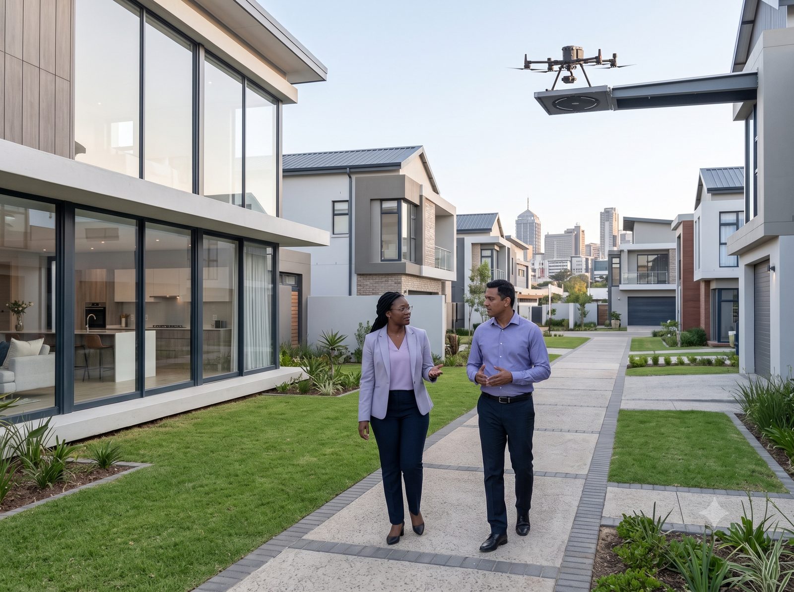
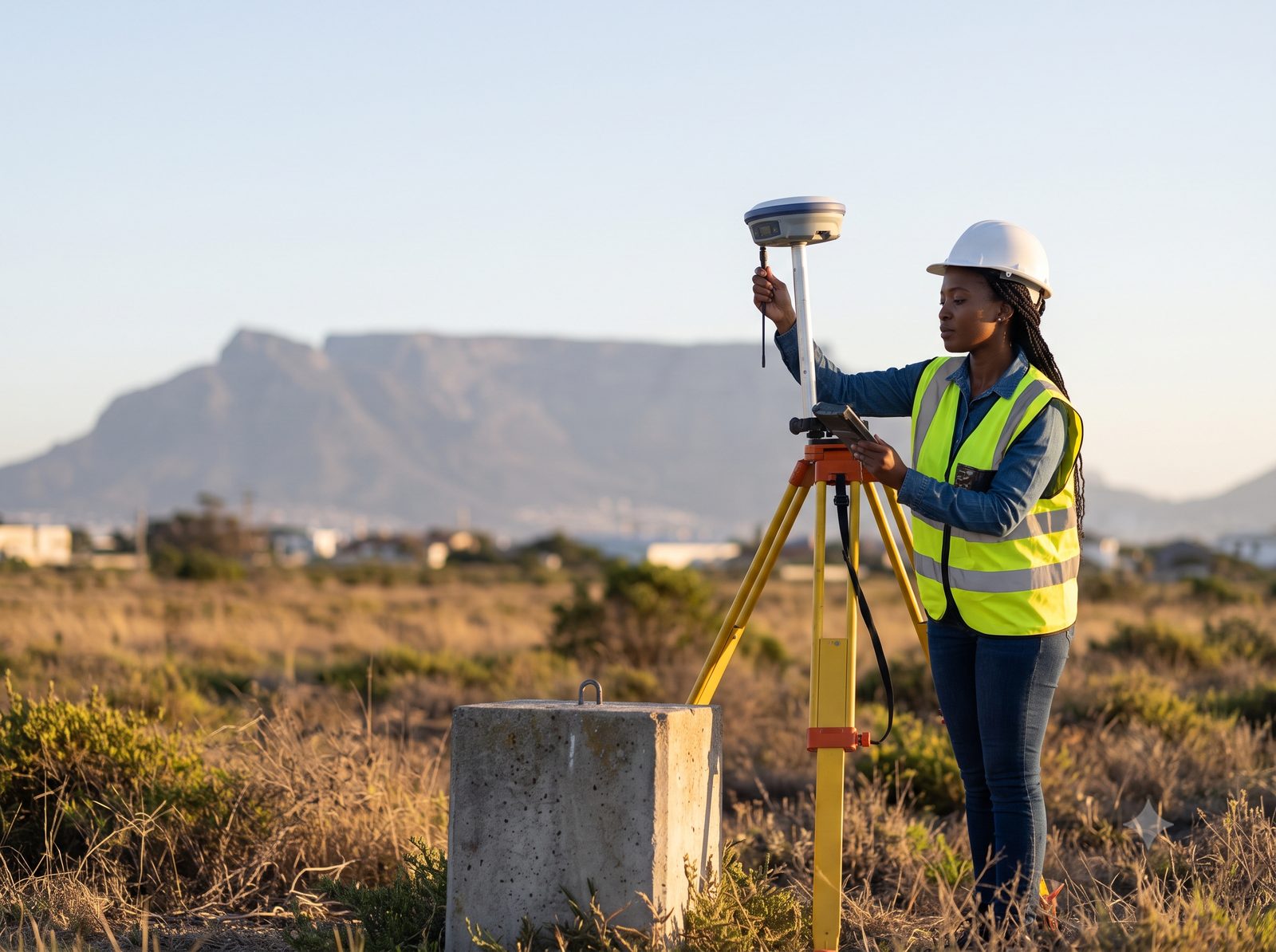
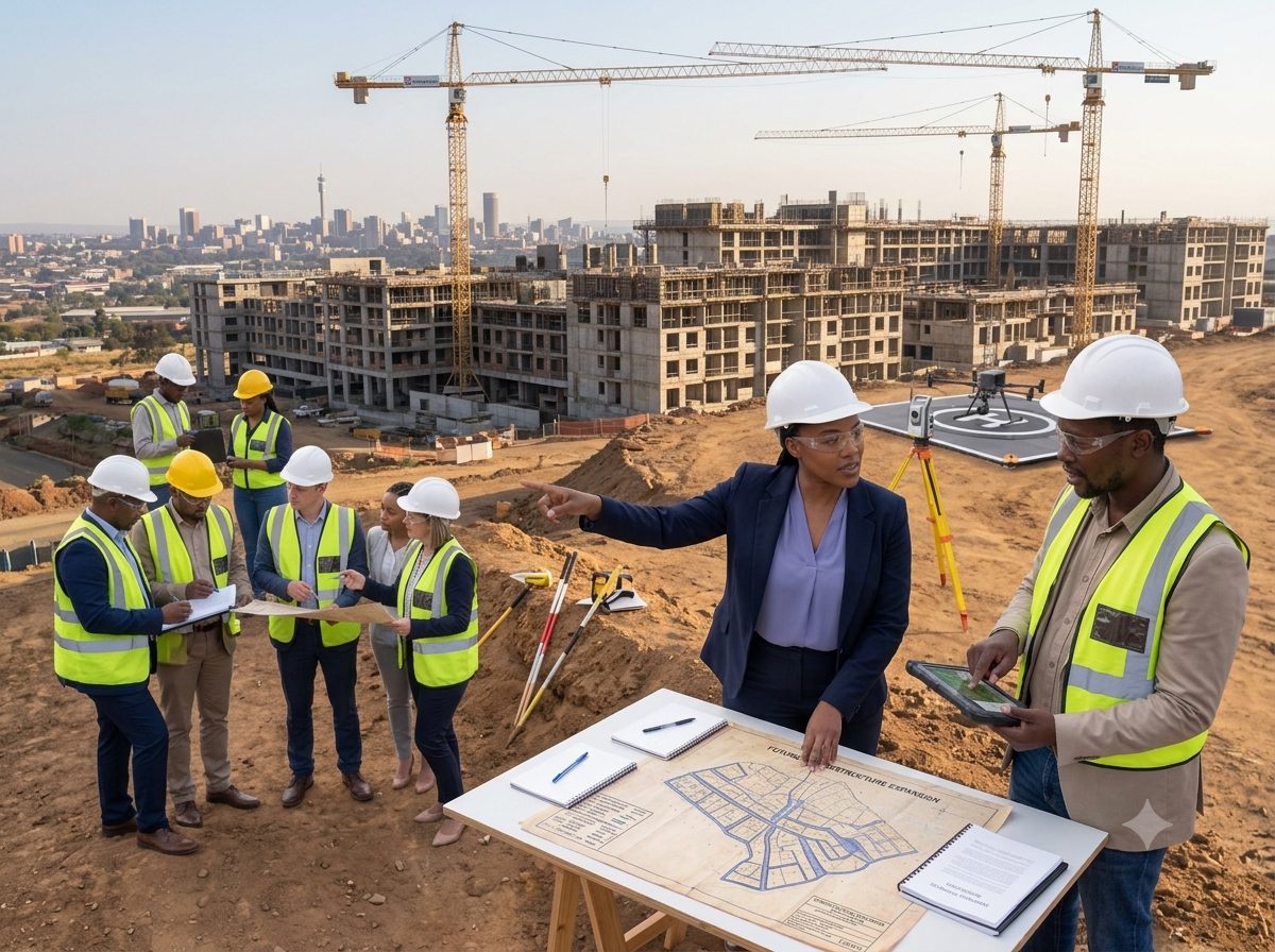
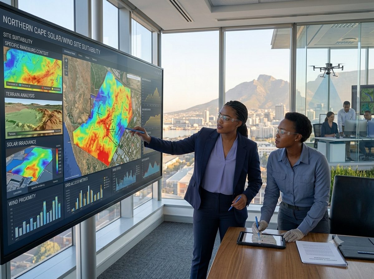
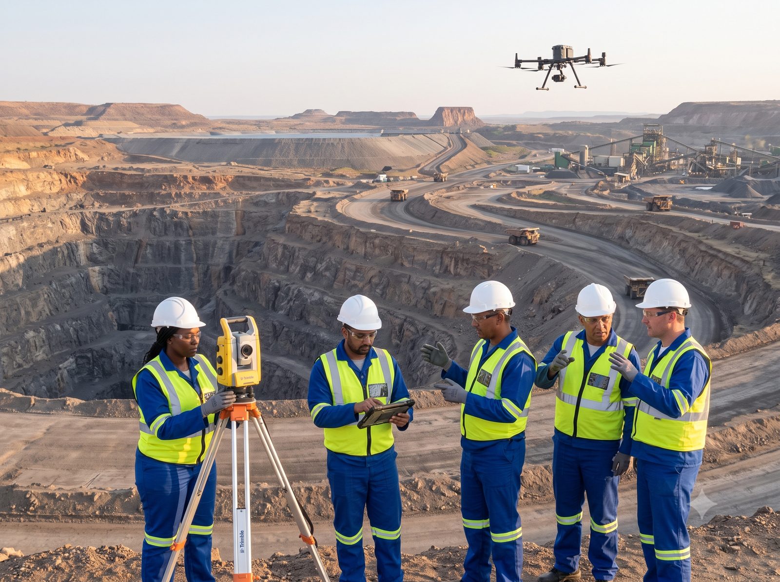
EarthSense-Geospatial Incorporated turns raw spatial data into decisions people can act on. What began as a land and engineering survey practice has grown into one connected pipeline spanning five disciplines: we measure, observe, understand, predict and advise — serving mining, infrastructure, environmental, water, housing and property sectors across South Africa.


Our Purpose
Mission & Values
“We do not just map the world. We engineer intelligence into every coordinate.”
To deliver precision geospatial intelligence that empowers informed decision making. We integrate advanced measurement science, remote sensing, and computational analysis with ethical practice to solve complex spatial challenges for government, mining, construction, and environmental clients across Africa and beyond.
Our Foundation
Born in Africa. Built for the World.
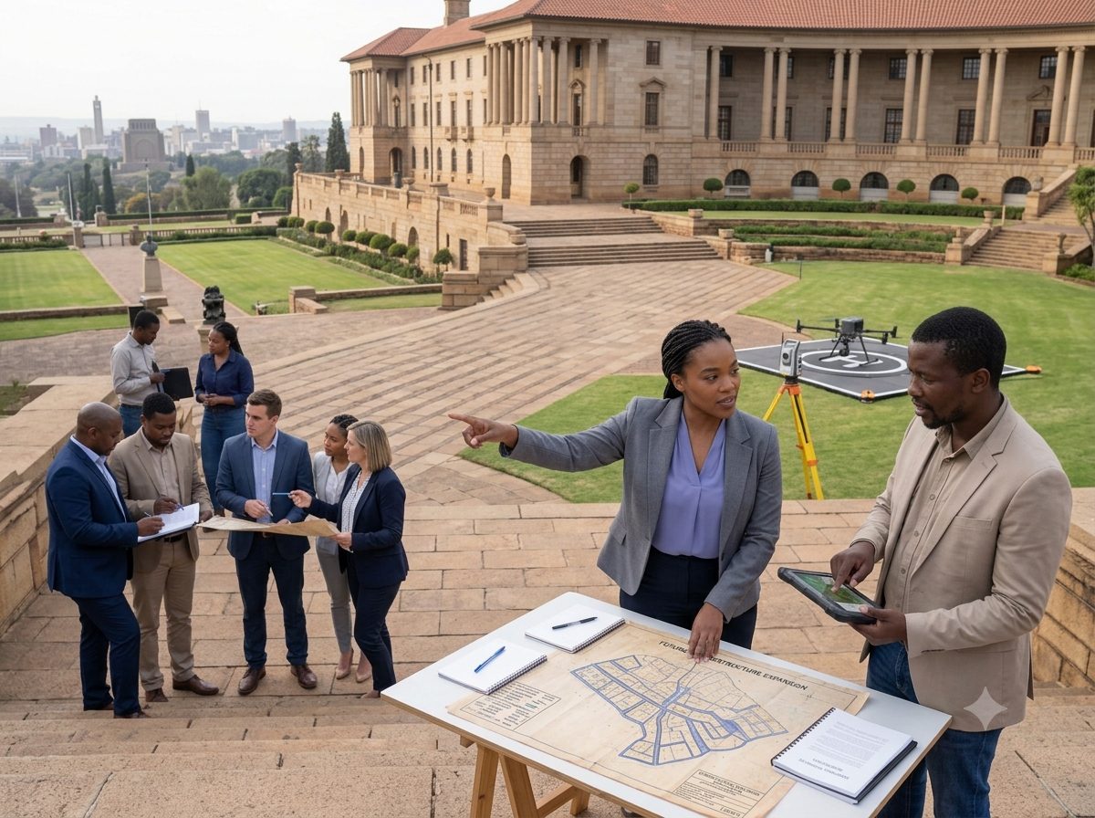
Founded by Thobani Maluleka, EarthSense-Geospatial combines advanced technologies with rigorous methodology to solve complex spatial challenges across construction, mining, government, and environmental sectors.
Precision
Sub-centimeter accuracy in every coordinate. Satellite positioning, total station, LiDAR, and InSAR time series analysis as standard.
Integration
Unmanned Aerial Vehicles, laser scanning, aerial surveying, and Artificial Intelligence seamlessly woven into traditional geomatics expertise.
Innovation
Predictive analytics, digital twins, change detection, and automated monitoring powered by Machine Learning.
Integrity
Highest ethical and professional standards. Client-centric approach with actionable, data driven insights.
The EarthSenseGeo Difference
Our Team
Meet the People Behind Every Coordinate

Thobani Maluleka
Founder & Principal
PhD Geodesy
MSc Engineering
BSc Geomatics (Survey)
Professional Land Surveyor (GPr LS0984)
Thobani Maluleka
Founder & Principal
PhD Geodesy
MSc Engineering
BSc Geomatics (Survey)
Professional Land Surveyor (GPr LS0984)
Thobani Maluleka
Founder & Principal
PhD Geodesy
MSc Engineering
BSc Geomatics (Survey)
Professional Land Surveyor (GPr LS0984)
Thobani Maluleka
Founder & Principal
PhD Geodesy
MSc Engineering
BSc Geomatics (Survey)
Professional Land Surveyor (GPr LS0984)
Let's Transform Your Spatial Data Into Intelligence
Tell us about your project and we'll show you exactly which services apply and the fastest path to your first deliverable.